Trans Nzoia County is characterized by a flat gentle undulation rising steadily towards Cherangany Hills in the east and Mt. Elgon in the northwest with an altitude of 4,313 metres above the sea level. Mt. Elgon is the second highest mountain in Kenya with an important ecosystem shared between Trans Nzoia and Bungoma Counties in Kenya and the Republic of Uganda hence it is a unique resource for environmental and wildlife conservation.
On average the County has an altitude of 1,800 metres above sea level. The altitude varies from 4,313 metres above sea level in Mt. Elgon and gradually drops to 1,400 metres towards the north. Due to the undulated nature, especially the northwest and the eastern parts of the county, there are difficulties in transportation especially during the rainy season when roads become impassable.
There are three main rivers in Trans Nzoia County namely; Ewaso-Rongai with its tributaries being Kabeyan, Kissawai, Kipkulkul, Tongaren, Kabuyefwe and Machinjoni. Noigamaget River with its tributaries being Kapolet and Sinyereri while Sabwani River has Kiptogot, Mubere, Kaibei, Kimothon and Chepchoina as its tributaries. These three rivers are the major tributaries of river Nzoia which drains into Lake Victoria. The water from the rivers is utilized for domestic consumption, small scale irrigation and also has potential for hydroelectric power generation to support rural electrification, industrialization and fisheries. River Nzoia catchments and its tributaries are however threatened by encroachment, agriculture and other human activities.
The largest natural forest cover in the county is found in Mt. Elgon and the Cherang’any Hills. However, continued pressure from human activities has significantly affected the forest cover. The forests are critical to the climatic conditions of the territorial boundaries of the county and beyond as they are the water catchments for Lakes Turkana and Victoria.
Upper Highland Zone: The Zone covers the hills and slopes of Mt. Elgon, Cherang’any hills and the boundary zone towards West Pokot County. The zone lies between altitude 2,400 metres and 4,313 metres above sea level and constitutes about 16 percent of the county land area. The area is covered with high vegetation, shallow stony soils and rocky outcrop. Mt. Elgon National Park situated in this zone is a major tourist attraction. Establishment of a transition zone around the Mount Elgon National Park would play a significant role as a buffer zone for the protected area and mitigation against human-wildlife conflicts. The area also has limited potential for sheep and dairy farming especially at the transition area.
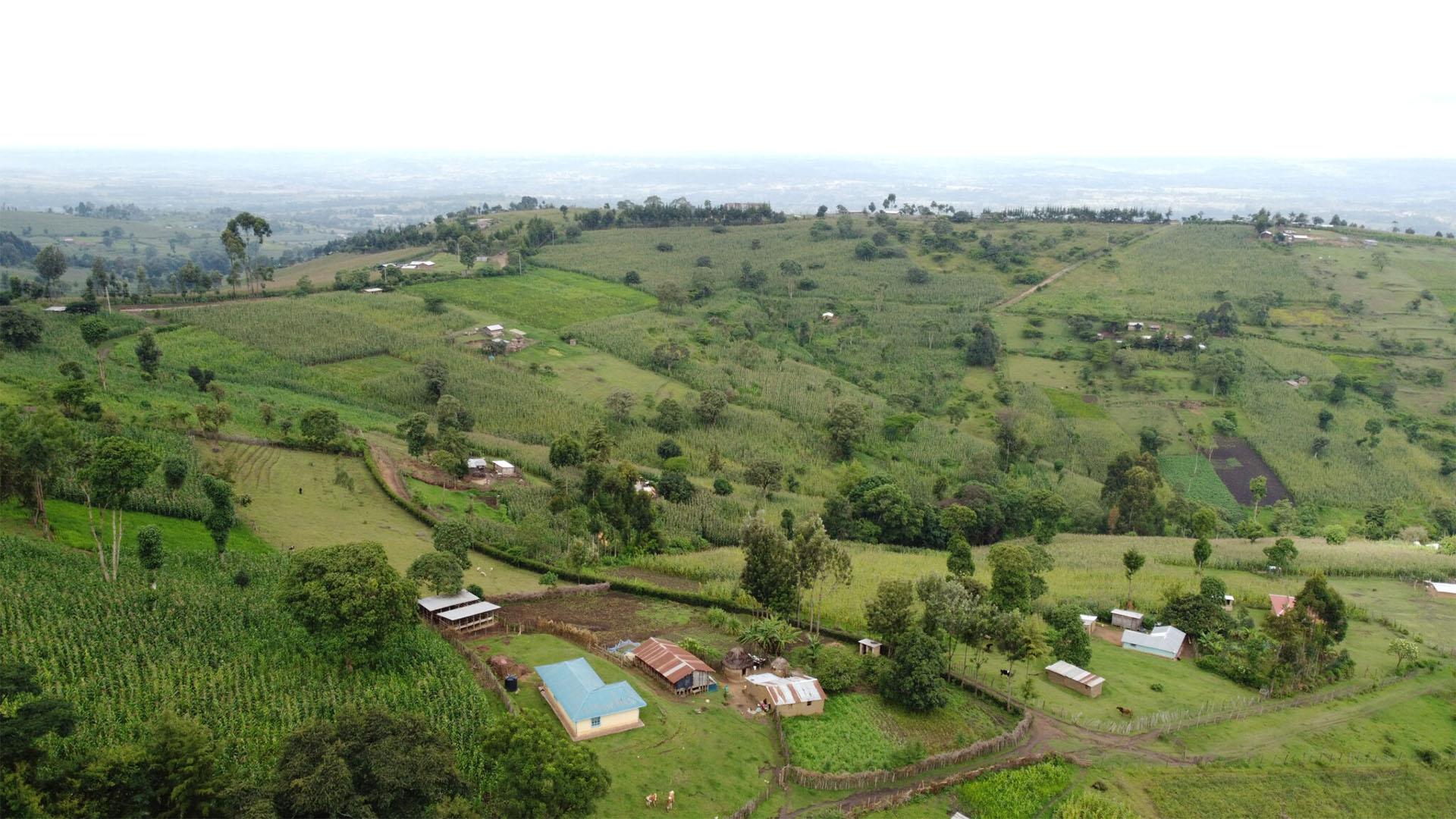
Lower Highland Zone: The Zone covers the slopes of Mt Elgon and Cherang’any Hills with an altitude ranging from 1,800-2,400 metres above sea level. This zone covers 848.64 square kilometres and it constitutes 34 percent of the total area of the county. The soils found in this zone are red and brown clay derived from volcanic ash. These soils are fertile with a high content of clay mineral which gives a continuous supply of plant nutrients. This zone supports agricultural and livestock activities. This zone can support farming activities that include cultivation of pyrethrum, wheat, tea, maize, barley, sunflower, coffee and horticulture as well as rearing of cattle and sheep. Despite the high potentiality of these areas, there is inadequate transport network that hinders efficient transportation of the farm produce to markets.
Upper Midland Zone: The zone covers 1,248 square kilometres which is approximately 50 percent of the total area of the county. It lies between altitudes 1,700 and 2,000 metres above sea level. The mean annual rainfall in this zone is between 900 to 1,400mm per annum. The region includes the Endebess Plains stretching east of the Kitale Plains and further towards the areas below the slopes of Cherang’any Hills. The zone stretches to the border of Tongaren Scheme in Bungoma County to the south and West Pokot County towards the north. The Zone is covered with well drained deep red and brown clays and sandy clays derived from the basement complex. There is a considerable size of land with black cotton soil along the Koitobos River in the Endebess Plains. Farming activities in this region include cultivation of maize, sunflower, coffee, wheat and barley as well as dairy, beef, sheep and horticulture production.
Trans Nzoia County has a cool and temperate climate with mean maximum (day time) temperatures ranging between 23.4oC and 28.40C and mean minimum (night time) temperatures ranging between 11.00C and 13.50C. The maximum and minimum extreme temperature are recorded in February (about 34.20C) and January (about 6.50C) respectively.
The county receives annual rainfall ranging from 1000mm to 1700mm. Western parts of Endebess, Saboti and Kiminini Sub Counties, and North Western parts of Cherang’any Sub County receive the highest rainfall ranging between 1,300mm and 1,700mm per year. The eastern parts of Saboti and Kiminini Sub Counties, southern parts of Kwanza Sub County, western and central parts of Cherang’any Sub County receive moderate rainfall ranging from 1,200 to 1,300mm. The parts of the County that receive the lowest rainfall (1,000mm – 1,200mm) are Northern parts of Kwanza Sub County, Eastern parts of Endebess Sub County, South Eastern parts of Cherangany Sub County (Tuigoin) and South Eastern parts of Kiminini Sub County (Waitaluk). Figure 2 shows the distribution of annual mean rainfall by Sub County.
The annual rainfall is distributed into three major seasons namely; Long rainfall season- March, April, May (MAM), Intermediate Season- June-July-August (JJA); and short rainfall season- October-November-December (OND). The long and intermediate seasons are more reliable for agricultural production as compared to the short rainfall season. In the recent past, drought, dry spells and floods hazards have increased in frequency and complexity, probably exacerbated by climate change. The level of devastation due to drought, dry spells and floods are becoming increasingly severe with loss of livelihoods and negative impacts to key sectors within the county.

Source: Kenya Meteorological Department, 2018